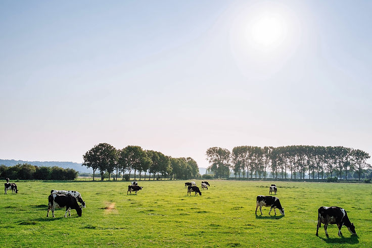
Methane Monitoring for Farms
Aerial emissions detection for smarter, more sustainable farming
Optix Aerial now offers drone-based methane and emissions monitoring tailored for farm environments across Hawke’s Bay…
What We Offer
-
Methane and emissions detection via drone-mounted sensors
-
Aerial heatmapping of emissions concentrations across paddocks, effluent ponds, or animal housing
-
Thermal imaging available for additional leak detection
-
Visual & data-based reporting to support compliance, carbon tracking, and proactive maintenance
-
Fast deployment with minimal disruption to farm operations

Who This Is For
Dairy Farmers
Monitor emissions from paddocks, animal housing, and effluent areas efficiently.

Farm Managers
Utilize aerial data for informed decision-making and future-proofing operations.

Sustainable Operators
Implement eco-friendly practices by understanding and managing emissions.

Beef & Sheep Producers
Identify methane hotspots to enhance sustainability and meet compliance standards.

Agri Consultants
Support clients in achieving environmental goals with precise emissions data.

Carbon Auditors
Obtain third-party emissions mapping to validate carbon offset initiatives.


Why It Matters
-
Get ahead of current and future emissions compliance
-
Improve on-farm environmental reporting and support carbon credit schemes
-
Detect and address leaks or methane-rich zones before they become costly problems
-
Strengthen your farm’s sustainability credentials with aerial data you can trust
How It Works
1
A drone equipped with methane detection sensors is launched to survey the designated area.
2
As the drone flies over the area, it uses advanced sensors to detect methane concentrations in real-time.
3
The collected data is analyzed to create detailed maps highlighting methane emission hotspots.
4
A comprehensive report is generated, providing actionable insights and recommendations for mitigation.